The following list is a summary of our favorite apps for getting outside and having a great trip. Just remember that as useful as these platforms are, they are only useful if your phone is charged and working, and the associated data is saved offline. Lastly, always consider the risks to you and your party in the event of your phone becoming dead, broken, or lost.
Windy
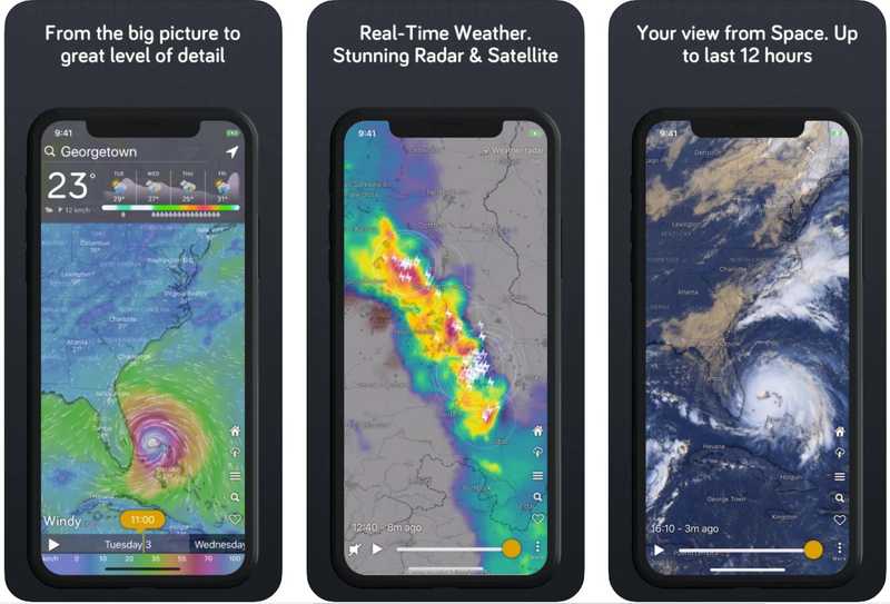
Weather is one of the biggest factors to consider when planning your outdoor adventures, and should be a huge component of your trip preparation. Windy is by far the best weather app in the market with exhaustive weather modeling features that allow you to forecast temperatures, precipitation, wind, cloud cover, radar, swell, and countless other environmental factors. Importantly too, Windy allows you to compare various weather models for a region such as ECMWF, GFS, ICON, NAM, and others so that you can have an informed understanding of what to expect in the coming hours and days.
Don’t forget to take screen shots of your weather forecast if you plan to be off-grid!
FATMAP
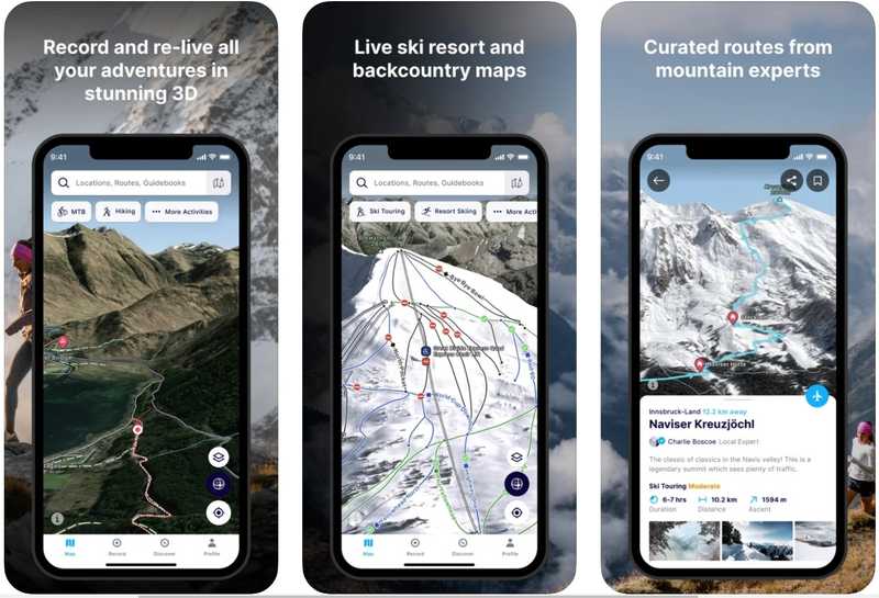
Explore the mountains with confidence using the world's most advanced 3D outdoor map. Plan the perfect route, orientate and navigate along the way while recording your route. This app and the offline 3D terrain and gradient features has personally helped us navigate unknown areas safely in the BC backcountry. It is great if you are into hiking, biking, trail running, skiing, ski touring, or mountaineering and is an invaluable tool that everyone should have downloaded on their phone when heading out into the wilderness.
They graciously offered a one-month Explore membership to our community that you can redeem here: https://fatmap.typeform.com/TaylorBurk
Gaia GPS
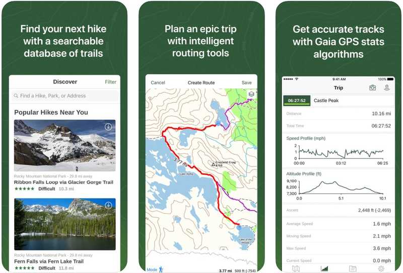
Gaia GPS is a great general GPS platform for your smartphone. Download comprehensive topo and satellite maps for offline use. Use intelligent routing tools to plan trips, and measure distance, altitude, and elevation change. View your route using comprehensive backpacking maps, including up-to-date weather forecasts. Use the Discover tab to find hikes and nearby trails. Remember that it is still worthwhile to have a backup map of an area you’re in if there is meaningful risk in having your phone die on your excursion.
Avalanche Canada
https://www.avalanche.ca/en/map
If you’re heading into mountainous backcountry areas in winter, it is essential to understand forecasted avalanche conditions in conjunction with education around the dangers of these types of Avalanche environments – even a valley bottom snowshoe adventure can have a host of overhead avalanche hazard which can be deadly to those unaware of their surroundings.
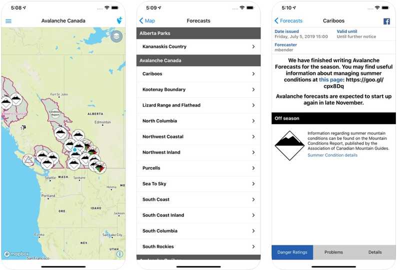
Avalanche Canada’s portal summarizes current and forecasted avalanche conditions for different recreational regions across the country from professional forecasters and maps out trip report pins from Mountain Information Network (MIN) users. Many of these trip reports can give detailed observations from the field, which should be an essential part of your pre-trip research into an area before an excursion.
We strongly recommend taking your AST 1/2 (or regional equivalent) courses to improve your own knowledge base on avalanche dangers, and most importantly, how to rescue your party in the event of a burial. Your experienced friends might be able to rescue you, but can you rescue them?
iOverlander
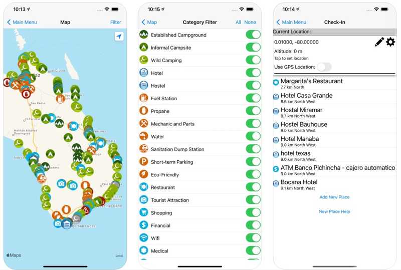
iOverlander is a map database of places for overlanders, campers, travelers and other adventurers. It includes camping opportunities (paid and free), hotels, restaurants, mechanics, water, propane filling, and many other categories that you can investigate. Details are listed for each place, including amenities, photos, date last visited, and GPS coordinates.
We’re a fan – we’ve been able to score great (and free!) camping countless times with this platform, and it lends itself very well to the type of exploration you already probably like to do. Whether that’s the secret beach front destination, or an area that allows you to get your desired alpine start.
Hipcamp
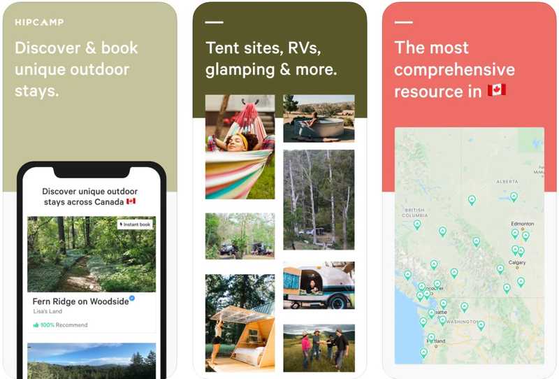
Hipcamp is like the Airbnb of camping. Find one-of-a-kind campsites away from the crowds. Discover and book tent camping, RV parks, cabin rentals, treehouses, and glamping—everywhere from national parks to blueberry farms. By partnering with private landowners, Hipcamp showcases hidden, off-the-beaten-path outdoor destinations you can’t find anywhere else. The best and most comprehensive App for unique outdoor stays in Canada, the United States, and Australia.
Use the code “Taylor25” when making your next booking for 25% off.
Mountain Project
https://www.mountainproject.com/
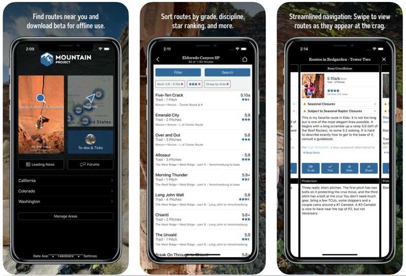
For all you climbers and mountaineers, Mountain Project is a website and app that serves as a guidebook to more than 170,000 climbing routes across the world. Search for routes by location, discipline, difficulty, star rating and more, and then use the app to navigate to them. The app also allows you to download route beta, photos, and topos for offline use, along with key route information from users.
Ultimately it makes for a great research tool for climbing objectives, which you can then supplement with detailed guide-books that are often available for different climbing regions.
Splitwise
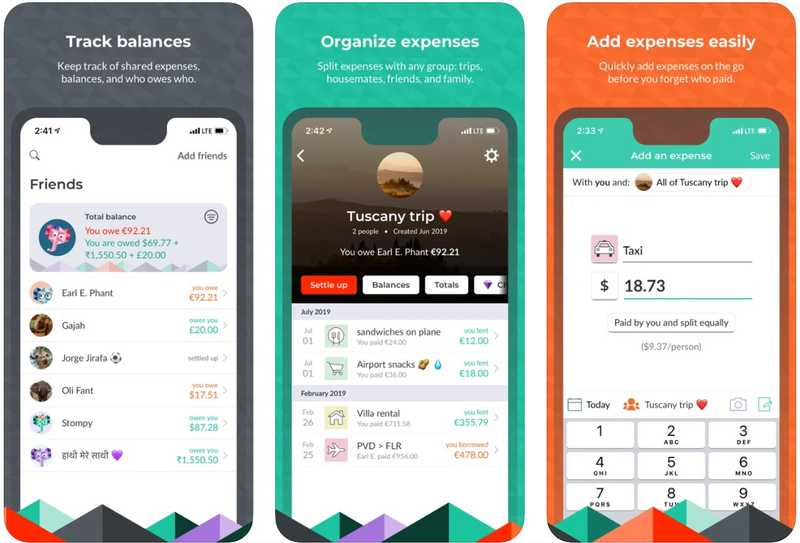
Is this one outdoors specific? Not exactly. Is it useful when you are coordinating trips with your pals? Absolutely. Splitwise is a free tool for friends and others to track bills and shared expenses, so that everyone gets paid back and there is no stress around “who owes who”. You can get specific with categorizing expenses, having equal or unequal splits, receipt scanning, and simplifying the payback process by suggesting repayments between members. We use this one all the time on our bigger trips or excursions with our party to keep things fair.
First Aid – Canadian Red Cross
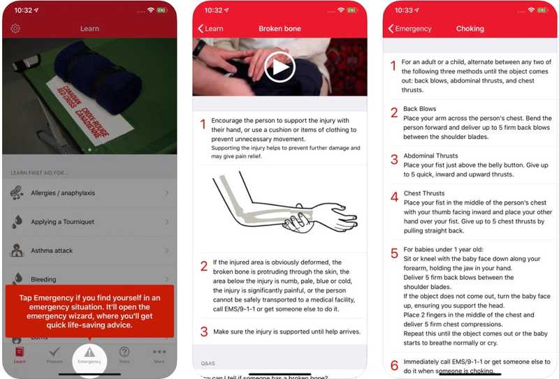
The official Canadian Red Cross first aid app puts expert advice for everyday emergencies in your hand. It provides simple, step-by-step advice on how to handle first aid situations, tips on how to prepare for emergencies, and has videos and animations to help sharpen your skills.
Importantly for the types of activities we do, all the app data is stored within the app itself, which means that you don’t need an internet connection to find the answer you’re looking for.
DISCLAIMER – Traditional First Aid processes and triage can be very different from that of Wilderness First Aid, and an app like this should NOT be treated as replacement for proper Wilderness First Aid training, which we strongly encourage. Also, don’t forget your first aid kit in your party!
Packup
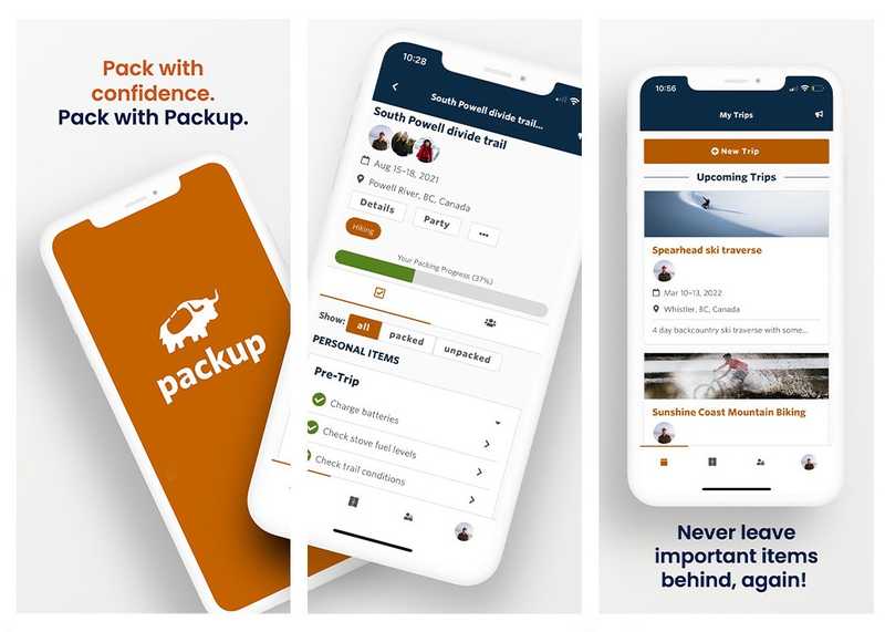
Shameless plug, we know. But we really are our own biggest fans - nothing is more embarrassing and painful than showing up to the trailhead without your hiking boots, or worse, showing up to your campsite without your stove fuel. At packup, our goal is to ensure that you will always be packed and prepared for your trips by creating packing lists through our trip generator (or on your own), the ability to assign and plan gear with your party members (who's got dinner!), and managing other aspects of your trip planning so you can get out the door faster and safer.
We'd love if you signed up and tried out our beta today! You can download the app or use the website version at getpackup.com
And if you like us, spread the word!
